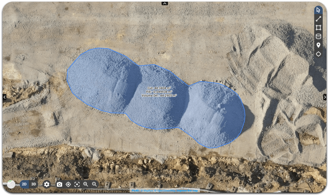
Dronodat provides real-time data for creating initial plans in the pre-planning phase, monitoring site progress, creating 2D maps, and generating GEO-accurate 3D models while maintaining personnel safety and productivity.
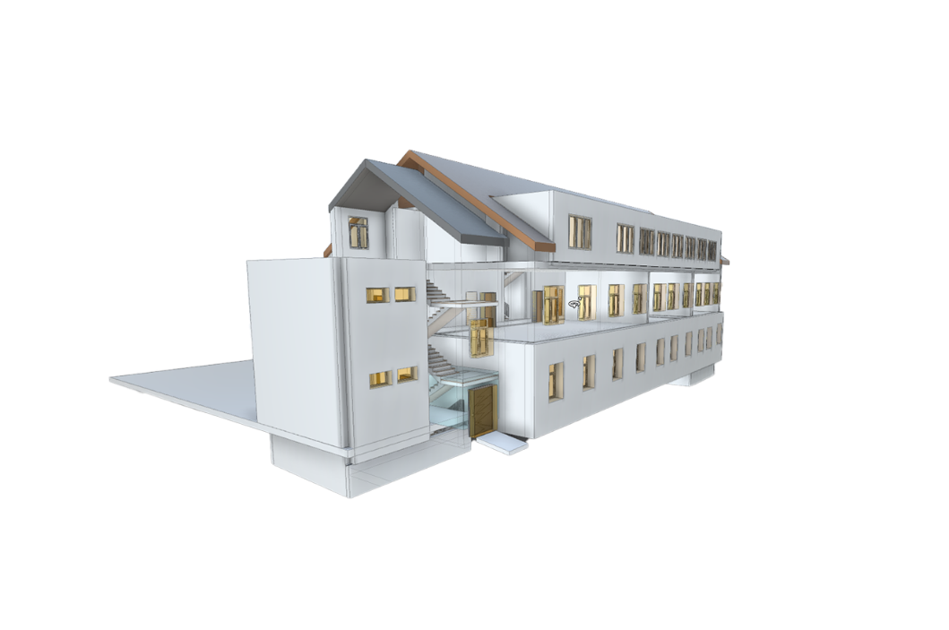
Digitizing indoor and outdoor spaces to create smart digital twins gives facility managers more control, increases efficiency, and enables the full potential of the facility to be realized.
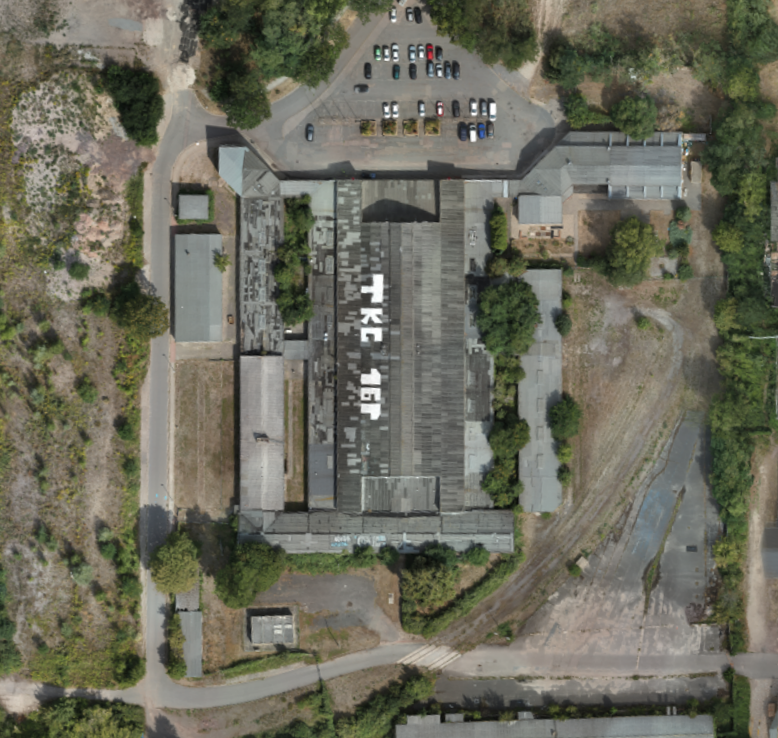
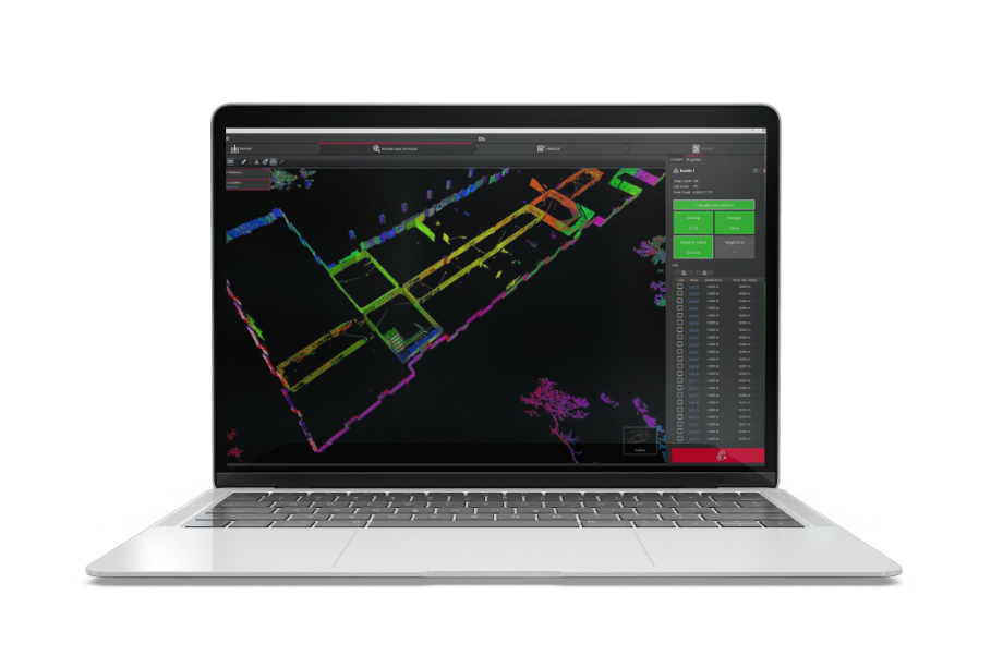
2D Floor Plans
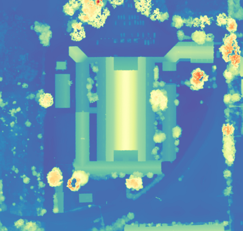
we replace the typical 2D floor plan with a highly accurate 2D digital floor plan using lidar technology
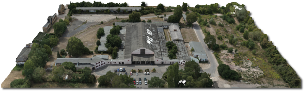
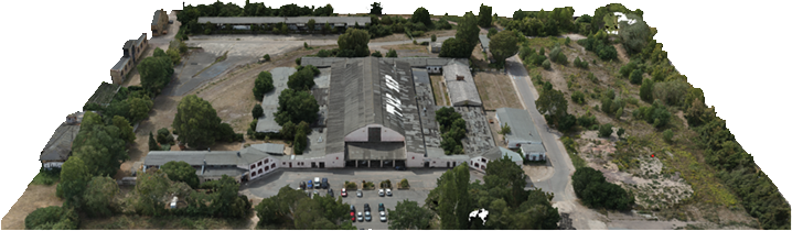
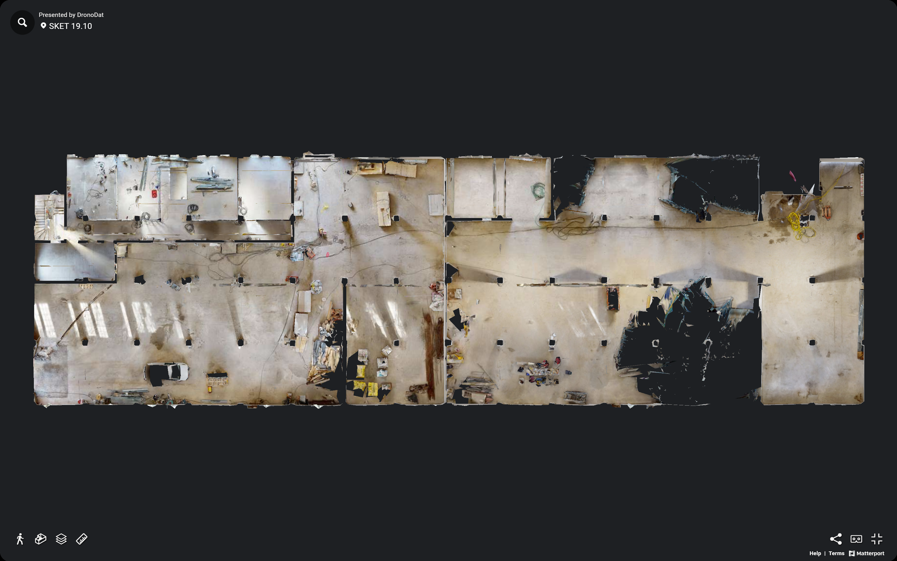
3D Rungänge
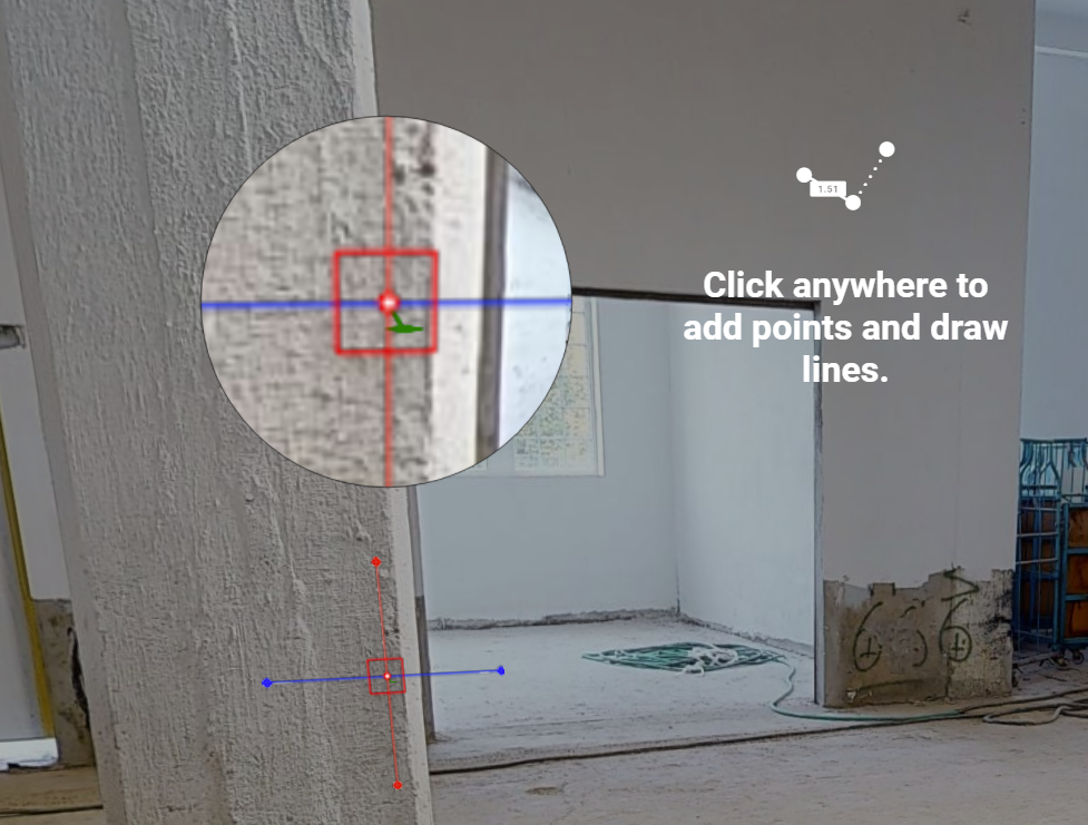
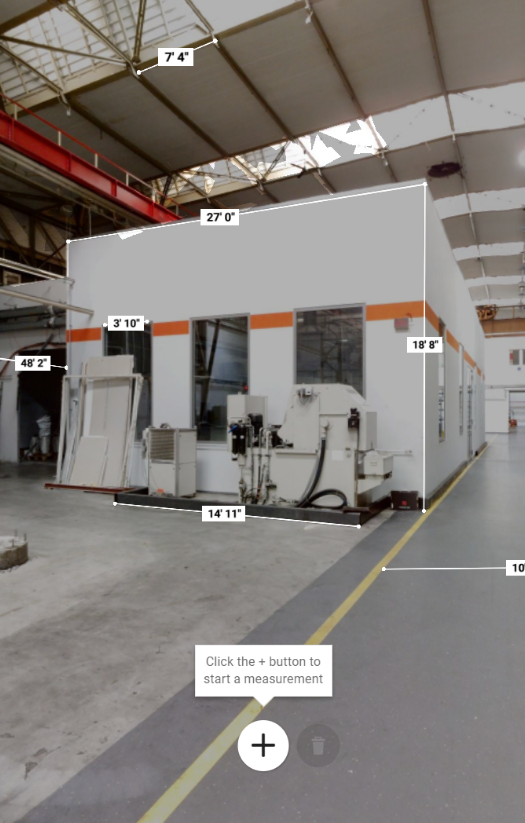
Create an interactive, easy-to-use 360° virtual tour with accurate measurements that can be shared among multiple contractors.